


EXPLORE MORE
Maps of Interest
Click a link below to open in a new tab
The site has been developed with the assistance of the Forward Planning Unit of
the Dept of Education and Skills and the Dept of Environment, Community
and Local Government.
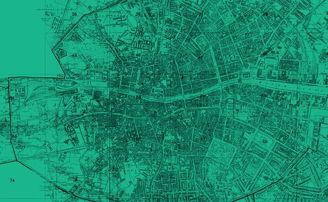
OSi’s large scale maps, aerial photography, historic maps and Discovery series maps for the Republic of Ireland. Viewable in all schools on the Schools Broadband Network. Log-in required from non-school locations.
To view OSi maps outside schools you need a Scoilnet account. Teachers can register here.
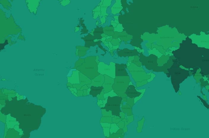
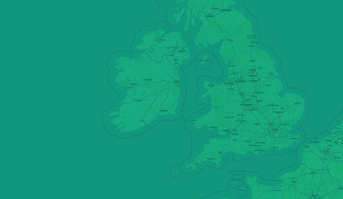
Global street maps, aerial photography and topographical mapping (courtesy of Esri inc).
Viewable from all locations. No log-in required.
Click a link below to open in a new tab
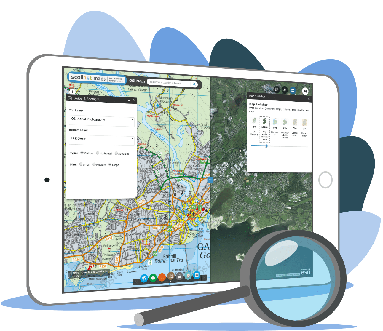

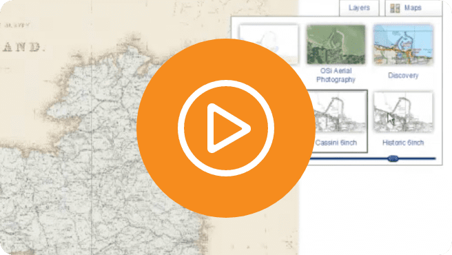 Viewing OSi Maps
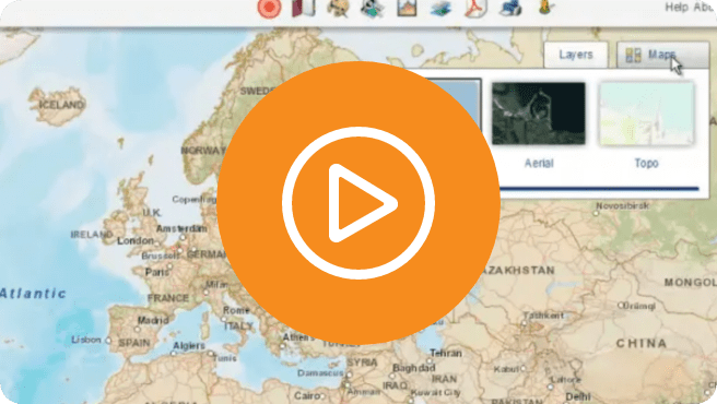 Viewing World Maps
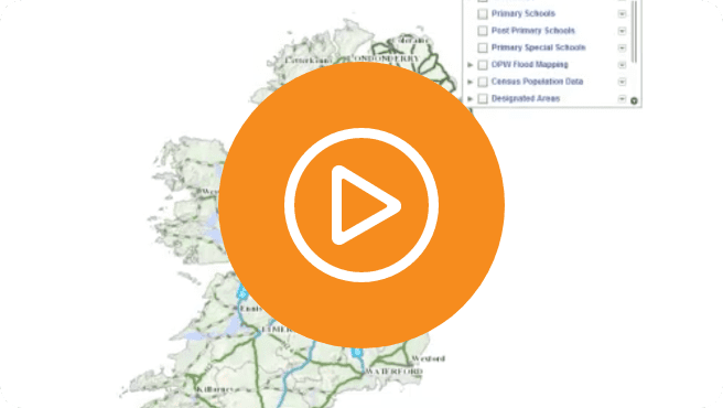 Working with Layers
 Navigating and Zooming
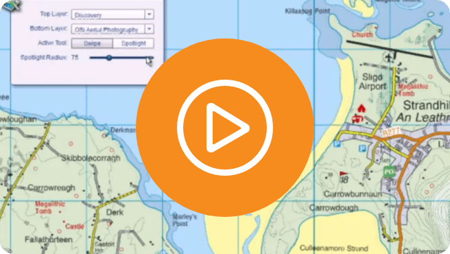 Swipe + Spotlight Widget
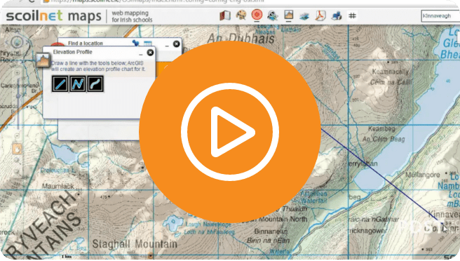 Elevation Profile Widget